A world map with latitude and longitude is a fundamental tool for identifying global coordinates, offering a visual representation of Earth’s layout and spatial relationships between regions. It provides essential data for understanding geographical locations accurately, making it versatile for educational, professional, and navigational purposes worldwide.
1.1 Understanding Latitude and Longitude
Latitude and longitude are geographical coordinates that identify a location’s position on Earth. Latitude measures the distance north or south of the equator, ranging from 0° at the equator to 90° at the poles. Longitude measures the distance east or west of the Prime Meridian, ranging from 0° to 180°. Together, they form a grid system that allows precise identification of any location globally.
These coordinates are essential for mapping, navigation, and geography, providing a standardized way to pinpoint locations accurately. Understanding latitude and longitude is fundamental for interpreting world maps and using tools like GPS effectively.
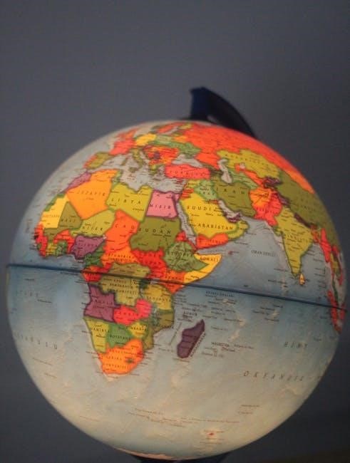
1.2 Importance of Latitude and Longitude in Mapping
Latitude and longitude are foundational in cartography, enabling precise location identification and spatial understanding. They provide a global grid system, essential for navigation, education, and professional mapping. These coordinates allow accurate plotting of cities, countries, and natural features, facilitating consistent representation across maps. Their importance extends to GPS technology, aviation, and maritime navigation, making them indispensable tools for global communication and exploration. Understanding these coordinates enhances geographical literacy and practical applications worldwide.
How Latitude and Longitude Work
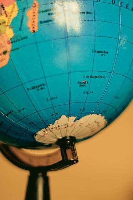
Latitude and longitude form a grid system that pinpoints global locations, with latitude measuring north-south positions and longitude measuring east-west positions, enabling precise location identification worldwide.
2.1 Definition and Range of Latitude
Latitude refers to the angular distance of a location north or south of the Earth’s equator, measured in degrees. It ranges from 0° at the equator to 90° at the poles. This system allows precise identification of positions on the globe, with lines of latitude running parallel to the equator. The range of latitude is divided into degrees, minutes, and seconds, providing a detailed framework for mapping and navigation worldwide.
2.2 Definition and Range of Longitude
Longitude measures the angular distance east or west from the Prime Meridian, ranging from 0° to 180° east and 180° west. It helps identify a location’s east-west position on Earth. Combined with latitude, it provides precise global coordinates. The range of longitude is divided into degrees, minutes, and seconds, offering detailed location identification. This system is essential for mapping and navigation, allowing accurate determination of any point on the globe when paired with latitude.
2.3 The Grid System: How Latitude and Longitude Form a Grid
Latitude and longitude lines form a grid system that divides the Earth into a series of intersecting lines. Latitude lines run horizontally, while longitude lines run vertically, creating a network that allows precise location identification. This grid system is fundamental for mapping and navigation, as it provides a standardized way to pinpoint locations globally. The intersection of these lines creates unique coordinates, enabling accurate determination of any point on Earth’s surface.

The Mercator Projection in World Maps
The Mercator Projection is a cylindrical map projection introduced by Osborn M. Miller in 1942, known for its accuracy near the equator. It is widely used in navigation and education, offering a practical representation of the Earth’s surface while maintaining directional accuracy, making it a valuable tool for global mapping and educational purposes worldwide.
3.1 What is the Mercator Projection?
The Mercator Projection is a cylindrical map projection developed by Gerardus Mercator in 1569. It represents the Earth as a cylinder, preserving angles and shapes well near the equator. This projection is widely used in navigation due to its ability to maintain directional accuracy. While it distorts the size and distance of features near the poles, it remains a standard tool for global mapping, balancing practicality with visual simplicity for educational and professional applications.
3.2 Accuracy and Limitations of the Mercator Projection
The Mercator Projection excels in preserving angular relationships, making it ideal for navigation. However, it distorts landmass sizes, especially near the poles, where areas like Greenland appear larger than they are. This distortion misrepresents the true proportions of countries, particularly at higher latitudes. While accurate for directional purposes, it fails to reflect the Earth’s actual geography, leading to criticisms of its suitability for educational or representational mapping purposes compared to alternative projections like the Gall-Peters map.
Reading a World Map with Latitude and Longitude
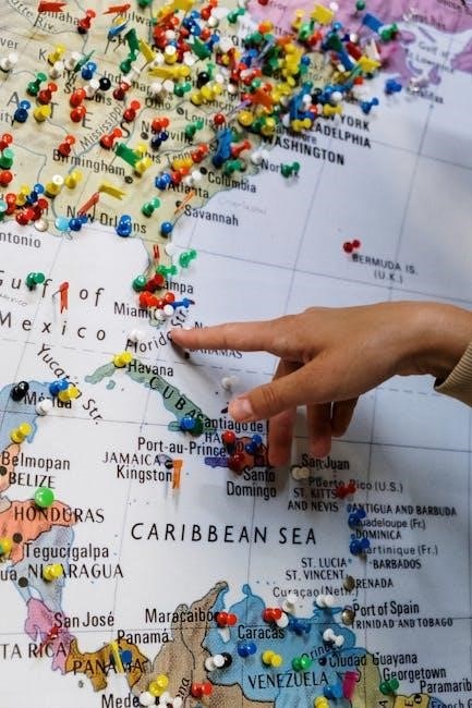
Reading a world map with latitude and longitude involves identifying coordinates to locate specific places, understanding the grid system, and plotting locations accurately for clear spatial representation.
4.1 Identifying Coordinates on a Map
Identifying coordinates on a world map involves locating the intersection of latitude and longitude lines. These lines form a grid system, with latitudes running horizontally and longitudes vertically. Each point where they intersect represents a unique location. By using the scale and legend, users can determine precise coordinates, enabling accurate plotting of cities, countries, and other geographical features. This skill is essential for navigation, education, and understanding global geography effectively. Modern maps, especially in PDF formats, often include detailed grids for precise identification, making them invaluable tools for both professionals and students alike.
4.2 Plotting Locations Using Latitude and Longitude
Plotting locations using latitude and longitude involves identifying the precise coordinates on a world map. By aligning the horizontal latitude lines and vertical longitude lines, users can pinpoint exact locations. This method is crucial for navigation, education, and research, as it provides a universal system for identifying any point on Earth. Maps in PDF format often include grids that simplify this process, making it easier to visualize and plot locations accurately for various purposes.

Downloading a World Map with Latitude and Longitude in PDF
Download free printable world maps with latitude and longitude in PDF format from reliable sources like Scribd or educational websites. These maps are ideal for educational purposes, offering clear grids to identify global coordinates accurately and efficiently for various applications.
5.1 Sources for Free Printable World Maps
Various websites offer free printable world maps with latitude and longitude. Scribd provides downloadable PDFs with detailed grids, while educational platforms and stock image sites like iStock offer high-quality, royalty-free maps. These sources cater to diverse needs, ensuring users can access accurate and customizable maps for educational, professional, or personal use. They are ideal for teaching, navigation, or research purposes, offering clear and precise geographical data.
5.2 Steps to Download and Print the Map
To download and print a world map with latitude and longitude, visit trusted websites like Scribd or educational platforms. Search for “world map with latitude and longitude PDF” and select your preferred map. Choose the PDF format for clarity. Click the download button, save the file, and open it using a PDF reader. Adjust printer settings for optimal quality and print the map on standard paper for easy use in classrooms, offices, or personal projects.
Applications of Latitude and Longitude Maps
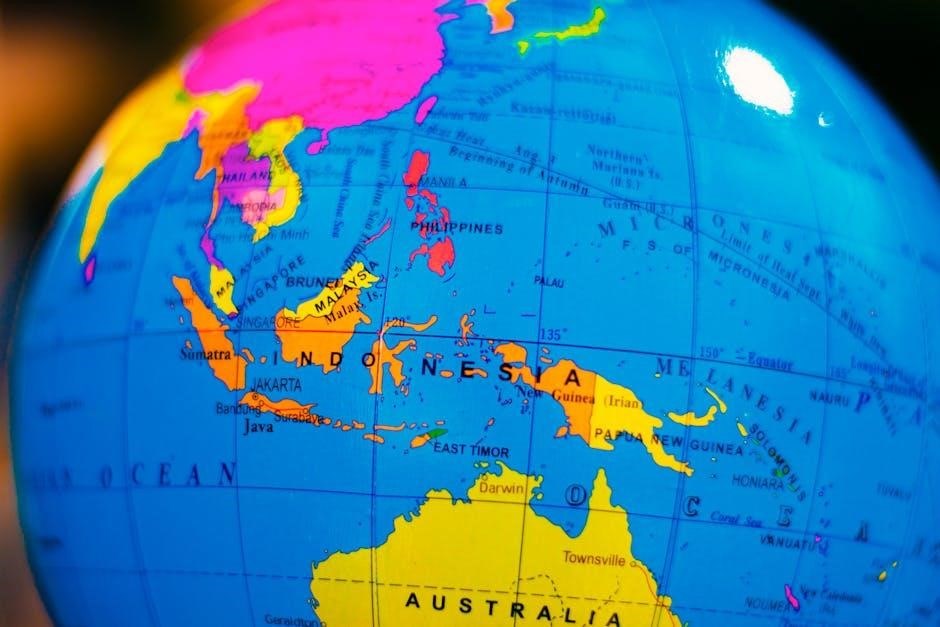
Latitude and longitude maps are essential for education, navigation, and geography, aiding in teaching spatial awareness, guiding global navigation, and facilitating precise location planning and research activities.
6.1 Educational Use in Classrooms
World maps with latitude and longitude are invaluable educational tools, aiding teachers in explaining spatial concepts and global geography. These maps help students identify coordinates, understand Earth’s layout, and visualize relationships between regions. They are widely used in classrooms for lessons on navigation, environmental science, and history. Printable PDF versions make them accessible for hands-on activities, enabling students to plot locations and develop essential geographical skills. This resource bridges theoretical learning with practical application, fostering a deeper understanding of the world’s structure and spatial relationships.
6.2 Professional Use in Navigation and Geography
Professionals rely on world maps with latitude and longitude for precise navigation and geographical analysis. These maps are essential for plotting locations, understanding global coordinates, and conducting accurate spatial studies. They serve as critical tools in aviation, maritime navigation, and geospatial research. By providing detailed coordinate data, they enable professionals to make informed decisions, ensuring efficiency and accuracy in various fields. Their versatility makes them indispensable for experts requiring reliable geographical information.
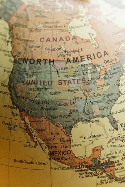
The Role of Latitude and Longitude in Modern Cartography
Latitude and longitude form the backbone of modern cartography, providing a precise framework for mapping technologies. They enable accurate spatial data representation, essential for digital tools and applications.
7.1 Historical Development of Latitude and Longitude
The concept of latitude and longitude dates back to ancient Greek philosophers, with Eratosthenes accurately measuring the Earth’s circumference. The system evolved over centuries, refined during the Age of Exploration. By the Renaissance, Gerardus Mercator popularized the Mercator Projection, standardizing global mapping. Modern technology, such as GPS, relies on these coordinates, showcasing their enduring importance in cartography and global navigation.
7.2 Impact on Global Navigation and Technology
Latitude and longitude have revolutionized global navigation, enabling precise location identification. GPS technology relies on these coordinates to provide accurate positioning, transforming industries like aviation, maritime, and logistics. Online mapping services use latitude and longitude to offer real-time directions, enhancing daily commute and travel planning. This system’s integration into modern technology underscores its vital role in advancing global connectivity and spatial awareness, making it indispensable in today’s digital world.
This conclusion summarizes the significance of latitude and longitude in mapping, emphasizing their role in navigation, education, and technology, and their indispensability in the modern world.
8.1 Summary of Key Points
A world map with latitude and longitude is essential for understanding global spatial relationships, providing precise location identification and visualization of Earth’s grid system. These coordinates are vital for navigation, education, and technology, enabling accurate plotting of cities, countries, and natural features. Printable PDF maps offer a practical tool for classrooms and professionals, fostering geographical knowledge and application in various fields, from education to global navigation systems.
8.2 Final Thoughts on the Importance of Latitude and Longitude
Latitude and longitude are foundational to understanding global geography, enabling precise location identification and navigation. Their importance spans education, professional mapping, and technology, providing a universal system for spatial awareness. As essential tools for cartography, they bridge historical exploration and modern applications, ensuring accuracy in global communication and travel. Their timeless relevance underscores their indispensable role in connecting and understanding our world.


